
After leaving Twin Falls, we headed toward Three Island Crossing State Park, a stop along the Snake River, where emigrants traveled after they left the Platte River way back in Wyoming. The western desert of Wyoming was treacherous, and there were days of travel between leaving the Platte River and finding the Snake River. For much of Wyoming and Idaho, the Oregon Trail follows some unreliable creek beds, so water was pretty scarce, potentially for weeks, depending on the time of year you were trying to cross the territory.
Thus, in this whole region, the landmarks for us to see were a bit more sparse. It was very much like crossing a desert: few gas stations, not much water, not many communities. Harsh territory where many emigrants lost their lives, unfortunately.
Three Island Crossing was a more lush area though, with grass and water, and a thriving Native American community (i.e. supplies). In this area, the pioneers shared resources with the Indians, at least for awhile.
We didn’t take a plane with us, so getting this aerial view of Three Island Crossing wasn’t doable. Thus, I present this picture (above) to illustrate how difficult it was to cross large rivers (like the Snake River, here in Idaho) and how there are certain locations (like this one) that are targeted by emigrants heading west to Oregon and California. The yellow line on the display shows how the wagons got across, moving from island to island until they got to the other side. Even with this crossing, many wagons still didn’t make it, or got stuck on one of the islands while trying to cross.
Alternatively, if you had the money, you could always take the ferry across, nearby.

At Three Islands State Park, they also had a full-scale ferry you could see, but sadly couldn’t actually use. Again, this wasn’t a cost-effective option for many travelers, but in 1869, if you had the money, it was safer than trying to ford the river.
From Three Islands State Park, we continued west along the Snake River toward the Columbia River, but again, there wasn’t much to see on this leg of the trip. We did stop near Boise, ID at the Oregon Trail Historic Reserve, which is really just a walking park around some distinct wagon ruts.

It was nice, but nothing worth writing home about (except here…obviously). Again, there just wasn’t much we were interested in seeing as we went through Idaho.
For example, there are multiple forts along this track, however a). we’d already seen a bunch of cool forts, and b). the “forts” that they had to see were replicas, not actual buildings from the time period. Fort Hall was an important stop along this portion of the trail, but the only thing there is a “replica museum” that over-charges people to see it. Fort Boise was a British garrison, and also important, but again, there’s a monument left in Parma, ID and a “replica site” of the trading post open limited hours. Thus, we found these sites to be skippable.
Fort Bridger was on the Wyoming side and we skipped it. It’s possible this site would have been cool, as it had a few buildings left and some museums. However, the Oregon Trail diverges at this point where some emigrants didn’t actually go that far south. Depending on whether you were on the Mormon Trail or the California Trail, you’d want to head through Fort Bridger on your way to your destination. The early travelers of the Oregon Trail likely went through Fort Bridger, but it looked to us like the trail heads north along Hams Fork and Craven Creek (current highway US-30). Perhaps it depended on the time of year for whether you’d stop at Fort Bridger, or if you’d keep on heading westward. Either way, it shaved a few hours off our trip, so we skipped it.
Back to Boise, ID though. We passed through Boise (and stopped at a local Sierra Trading Post, which was sadly disappointing) and then crossed into Oregon. Unfortunately, it turns out that Oregon doesn’t have an Oregon Trail Guide available through the National Park Service. Crazy, I know. All the other states have them, but not the state the Trail ended in. Therefore, we didn’t really have specific sites to stop at. Also, at this point, the trail kinda just follows I-84 all the way up to the Columbia River Gorge, so that’s what we did: drove on the interstate for awhile.

After hours of interstate driving though, we reached our destination: the “end” of the Oregon Trail. Technically, this was the end of the overland portion of the trail, as following the Columbia River into said gorge meant that at some point, wagons could no longer actually follow the river and had to travel on the river to get to the Willamette Valley.
So, on July 9th, we reached the “end” of the Trail. But, it wasn’t the “official” end. That’s in Oregon City. However, the End of the Oregon Trail museum closed after we got there that night. So, we stayed in Portland (more on that in another post) and went down to Oregon City on July 10th.

This museum was a bit disappointing, methinks. Maybe we played it up in our heads a bit. Perhaps we’d just seen a lot of other museums on our trip. Who knows. Regardless, while the outside of the museum was pretty cool (with the large structures resembling wagons), the inside was disappointing. They had a mock General Store (representing the beginning of the trail); they had a display of “Trail Medicine” (which looked like an undergraduate history project…mostly some written displays and some antique bottles with spices in them…); and they had a genealogy station set up in a room mocked up to look like a place to register your land.
Which, by the way, is the reason Oregon City was the “official end” of the trail: Oregon City was the closest location in the region where you could register your land claim. If you came to Oregon on the Trail to get land, you had to go there.
The video shown at the museum was actually pretty interesting, as it just consisted of readings from diaries of emigrants on the Trail. Though it largely told the same story that we’d heard for 2000 mi, it was interesting to hear it from a first-person perspective.

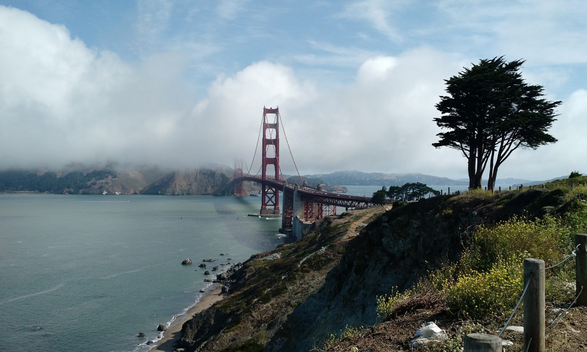
While in Oregon City, we took a quick walk along the valley to get a better look at what emigrants saw when they got here. Sadly, it’s a bit more “industrial” than what was there 150 years ago, but we got a sense of the place. It was definitely a far cry from the landscapes we’d seen on our travels through Nebraska, Idaho and Wyoming. A fitting end to a treacherous journey.
That was it! We’d made it! It took us 4 days (technically, though we didn’t visit this museum until Day 5…) to cover what used to be a 4-6 month journey. By this point, we were ready to not be in the car for 10+ hrs a day, so we enjoyed Portland a bit.
But that’s for another post…