As I mentioned before, the trip came together around a few things, so once we decided we were going to spend some time in Philadelphia, we also thought we could tack on a few college visits. Since colleges generally don’t run tours on the weekend, we had to schedule the tours for a weekday, and Friday was the most logical option. After that, it was a matter of choosing some colleges that were a). relatively close to one another; and b). had tour schedules that weren’t overlapping.
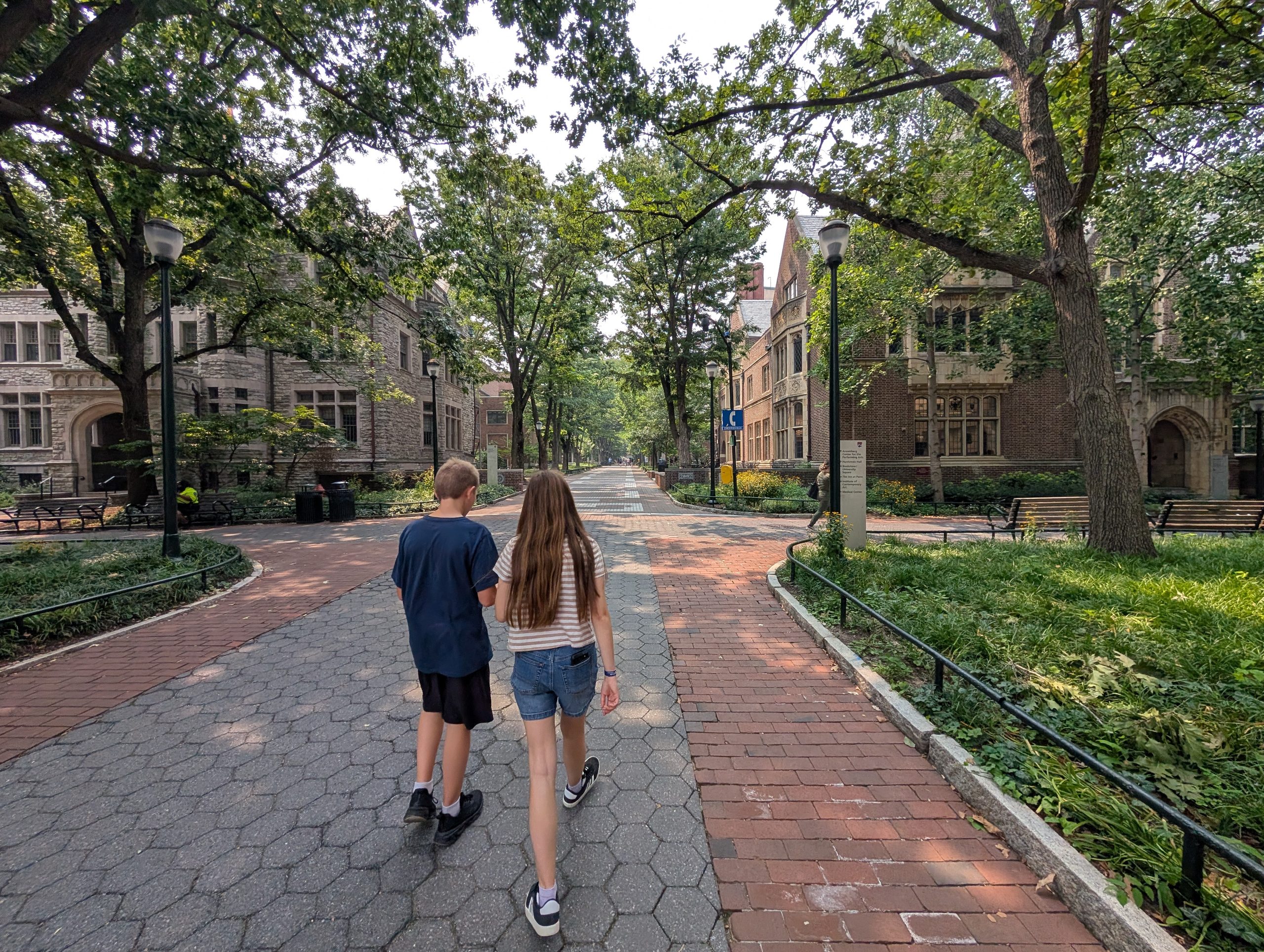
Brooke and I have been brainstorming some small, liberal arts schools for Meg to at least consider (we’re biased, I know…), and there are a few in that area. I had a friend from high school who went to Haverford College, so once I started looking into it, I found that Haverford, Swarthmore, and Bryn Mawr College are part of what they call the Tri-College Consortium, which allows students from each of those schools to participate in activities and take classes at the other schools. We ended up scheduling tours at Bryn Mawr College and University of Pennsylvania, giving Meg a “small, liberal arts school” to see, and an “elite Ivy University in the city” to compare to one another.
Unfortunately, wildfires in Canada were also happening and the air quality was rather hazardous. That meant that no one really wanted to be outside, so they didn’t opt to run the tours at Bryn Mawr or Penn that day. We still sat for a virtual tour with some other students at Bryn Mawr and got a feeling for the place, but then we rushed to Penn so we could get to that tour in time…even though that one was also canceled. Instead, they didn’t bother with the virtual tour but had their tour guides form a Q&A panel where they could address things.
I don’t know that Meg made any firm decisions based on so little information, but we’re still pretty early in the college search. I think she got a few of her questions answered and at least got a “feel” for those two places, so if she decides she wants to re-visit one, we can always make that happen (probably a plane flight next time, though…)
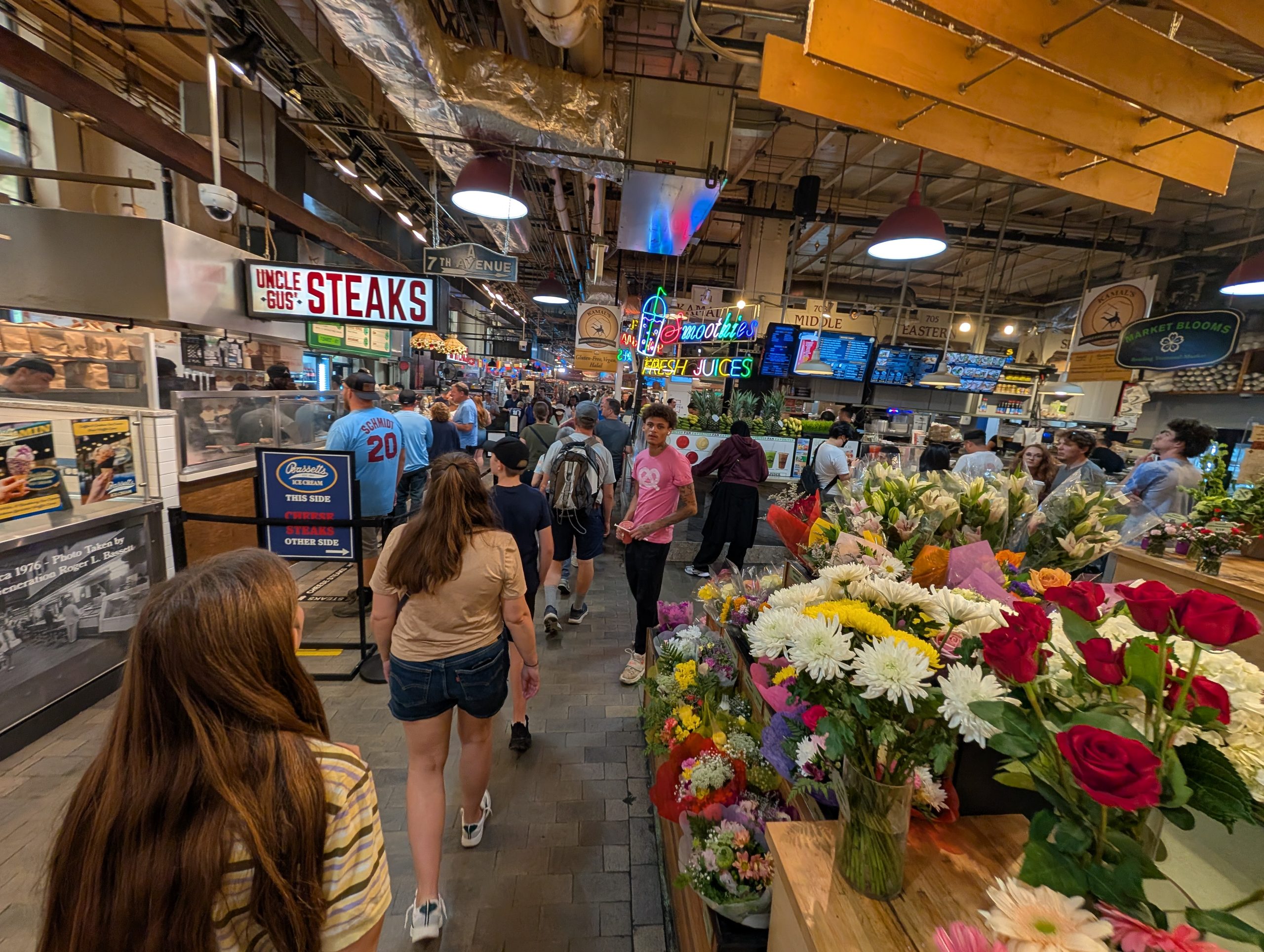
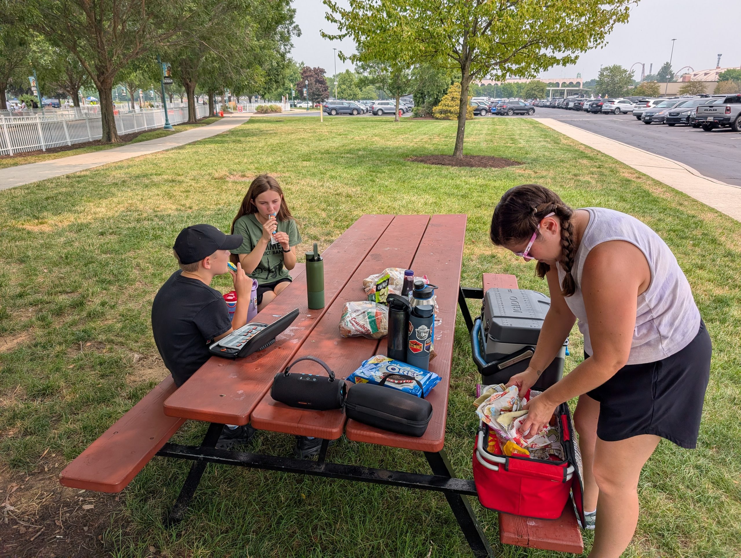
The next day was a Saturday, but we were going to see all the Philadelphia things and be tourists! Brooke scheduled two tours: one of Independence Hall for the afternoon, but another one for the morning at Reading Terminal Market. That tour started mid-morning, so we stopped at the Philadelphia Mint first (no pictures allowed). There wasn’t much to see, honestly, as it was a Saturday, so none of the equipment was working. It was cool to see some coins and how they’re generally made. They had some brand new quarters there that were minted for the 250th anniversary of the US, so we got some of those!
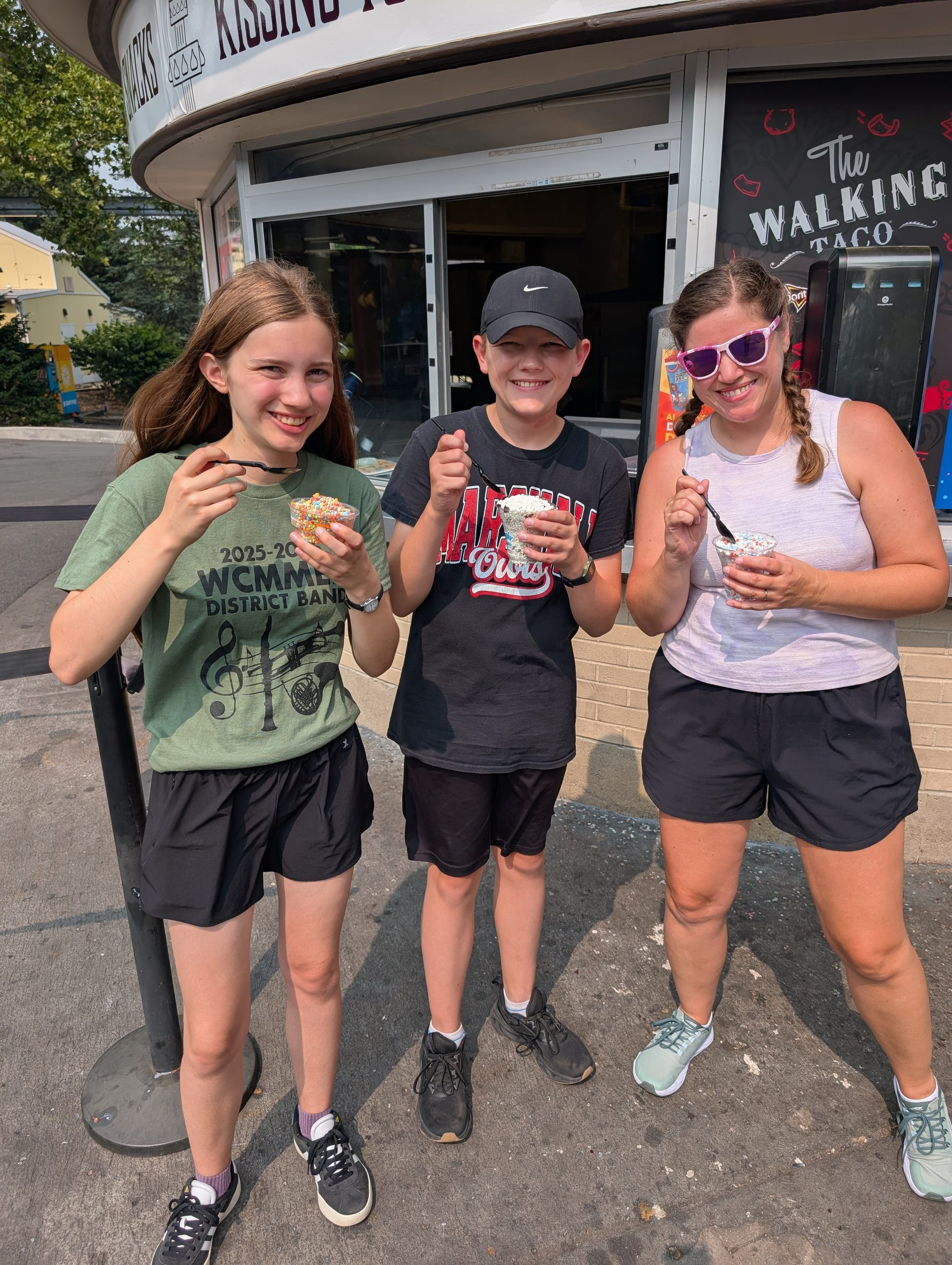
The Reading Terminal Market thing was really cool, though! It reminded me of the Soulard Farmer’s Market in St. Louis, but this one is mostly food vendors. We went because Brooke got some coupon as a part of using Airbnb so much that included a guided tour of the vendors. We probably would have been overwhelmed just walking through it, but our tour guide walked us around, provided some history for the space, and gave us her opinions on most of the food options. Calvin and I shared a Philly Cheesesteak from Uncle Gus’, and on the guide’s recommendation, Brooke got a roast pork sandwich from Tommy DiNic’s – both were excellent! Meg got a baked potato, because she’s boring….(she said it was good, though).
So yeah, Reading Terminal Market was a nice surprise! Very busy on a Saturday, but definitely worth checking out if you’re in the area! From there, we stopped in Elfreth’s Alley on the way back toward Independence Hall for our tour. Elfreth’s Alley is a cobblestone road between houses built as early as the 1720s, and people still live in them! We took a quick tour of one of them (like, $9 for all four of us) and, yep, it was an old house. High ceilings, wood floors, fireplaces in rooms for heating, no modern kitchen or running water. Most of the houses along Elfreth’s Alley are modernized because, again, people still live in them, but the one we walked through was mostly kept as it was in the 1700s/1800s.
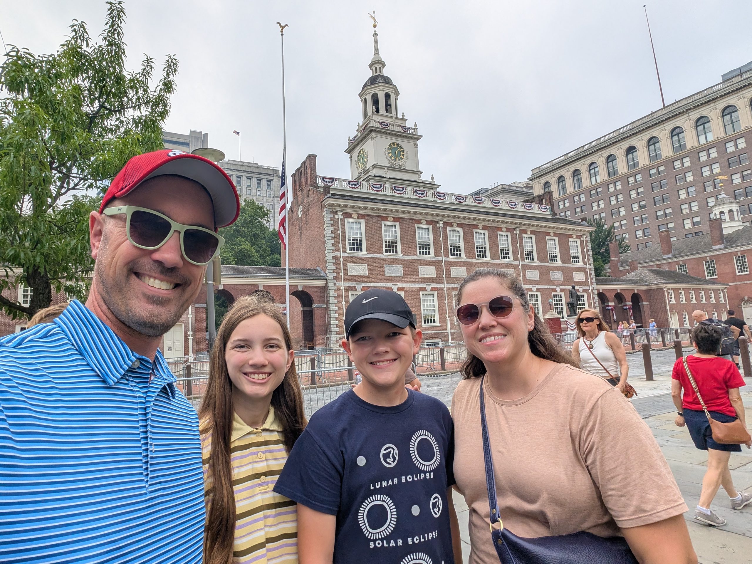
The tour for Independence Hall was run by the National Park Service, and Brooke and I are always fans of those: inexpensive and informative. A lot of the furniture in Independence Hall is era appropriate, meaning it wasn’t actually there during the signing of the Declaration or the Constitution, but that chair in the background behind Meg and Calvin was the one George Washington sat in, so that was cool!
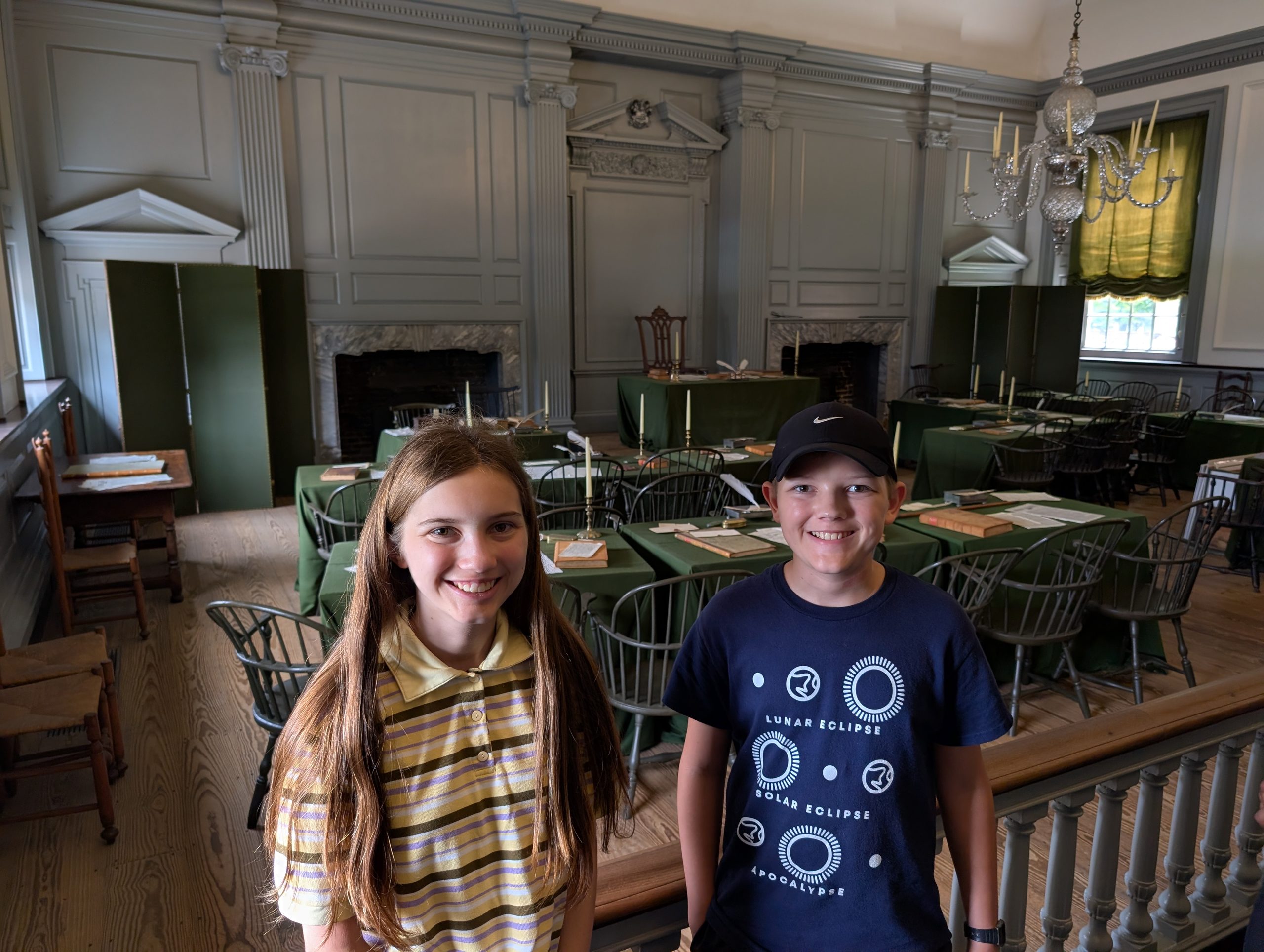
At multiple points during the trip, though especially once we started talking about Independence Hall, it started becoming painfully obvious that the kids really hadn’t learned all that much about the American Revolution in school. Not to say they didn’t know anything, but the timeline, which documents were signed where, why the Bill of Rights exists… I was hoping they would have a bit more grounding in those areas, but alas, they still had questions (usually good ones! …just surprising, at times…).
After Independence Hall, we went and saw the Liberty Bell, as it’s displayed in a separate building just outside. I’m glad we saw it, but Brooke and the kids questioned the point of its existence. I learned that the crack in the bell was actually the result of a repair to the bell – there’s a separate crack coming off of the iconic one, though, that caused the bell to not be used anymore.
The Liberty Bell didn’t take all that long, but there was rain coming in, so we went back to our Airbnb for the night. The one in Philly was in a somewhat sketchy neighborhood, but we didn’t have any issues. We were staying relatively close to where the World Cup Fan Fest was occurring, so there was a lot of traffic and loud cars going just about all night. Still, it was nice to have a kitchen, separate beds, and more space to spread out. Unfortunately, this was really the only spot where we had laundry service available, aside from the errant hotel laundry options, so we caught up on some of that, too.
The next day, we headed toward…Delaware! When we reorganized the dates a bit to fit in college visits, it shifted things between the Airbnb in Philly and the one in D.C., so we had another day in between. I don’t remember how it came up, though I imagine Brooke was probably talking to the kids and threw out: “Hey, maybe we should go to Delaware,” and they cheered with “YEAHs!”
So, the decision was made to go to Rehoboth Beach, DE. It actually gave us the opportunity to drive through New Jersey on the way, adding another state to the visit. We really just drove through, but ended up traveling through some seaside towns on our way south, along the coast. There were some nice beachside towns along the way, but it seemed pretty clear that these were second/third homes for New Yorkers, etc. where their kids were down for the summer while the parents still worked in the city. A lot of expensive cars and nice condos and houses all over the place. We got out and walked to one of the beaches on our way down, but didn’t stay all that long.
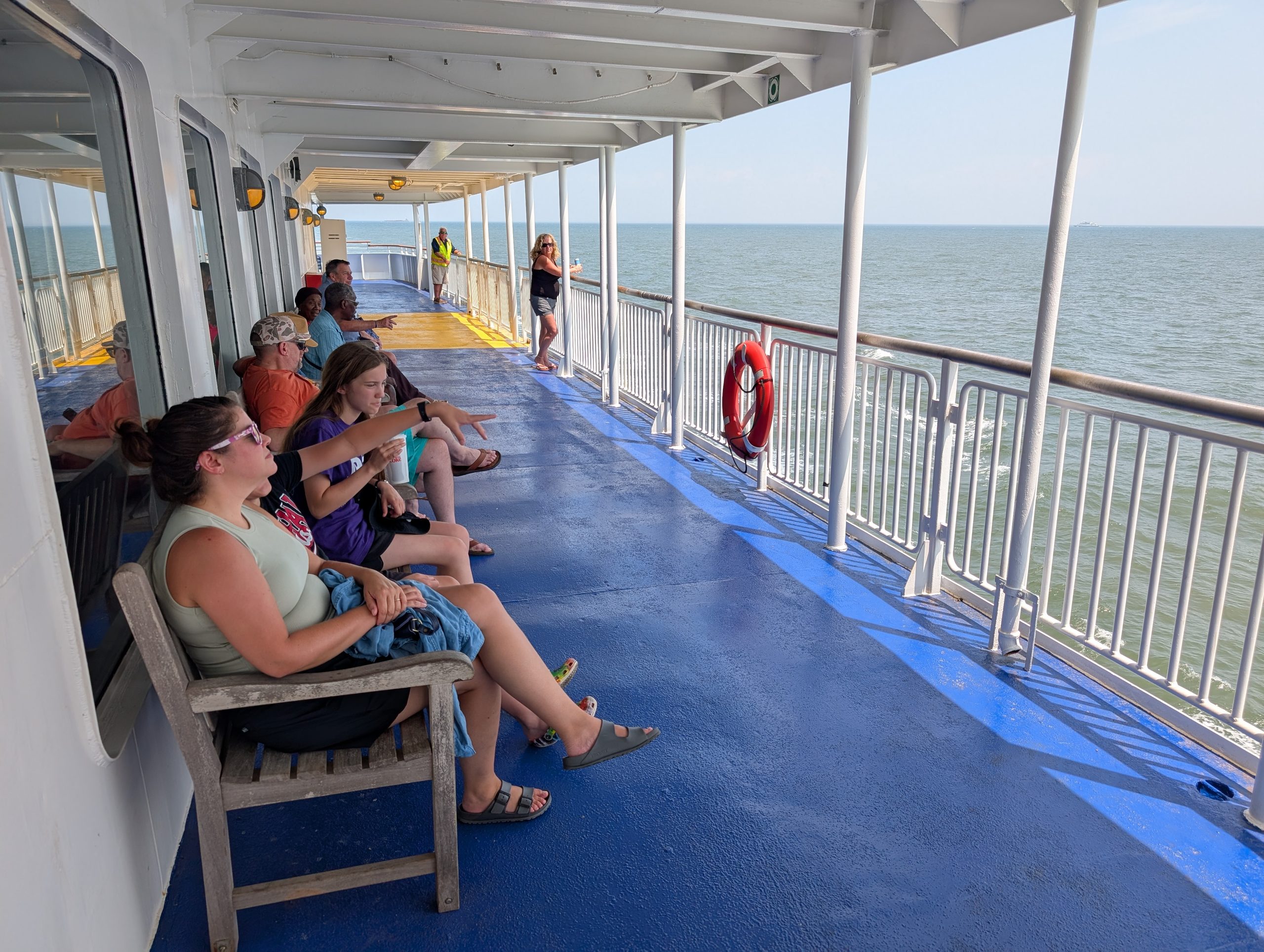
Brooke found a ferry that features a 40 minute ride across a bay between Jersey and Delaware. It also had limited meal service, so we could have lunch while we enjoyed the ride. We hadn’t done one of these since our last Madeline Island trip, so it was a neat return to something from one of our earliest vacations with the kids.
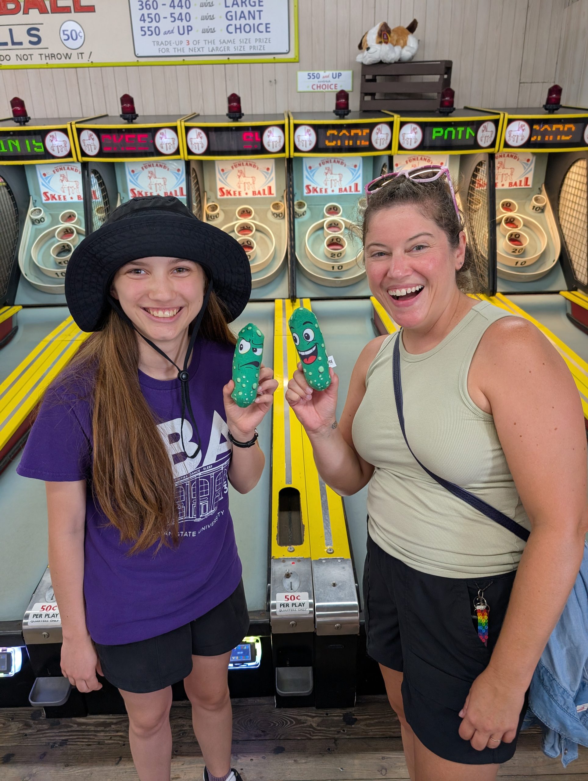
After the ferry ride, the drive to Rehoboth Beach wasn’t all that long. We were there by mid-afternoon, arriving before we could check in to our hotel. We asked if we could park the car there even though we weren’t technically checked in yet (they graciously said “yes”) and we walked about a mile down toward the beach. Rehoboth has a boardwalk, shops, restaurants, and some arcades (we played a lot of Skee-Ball).
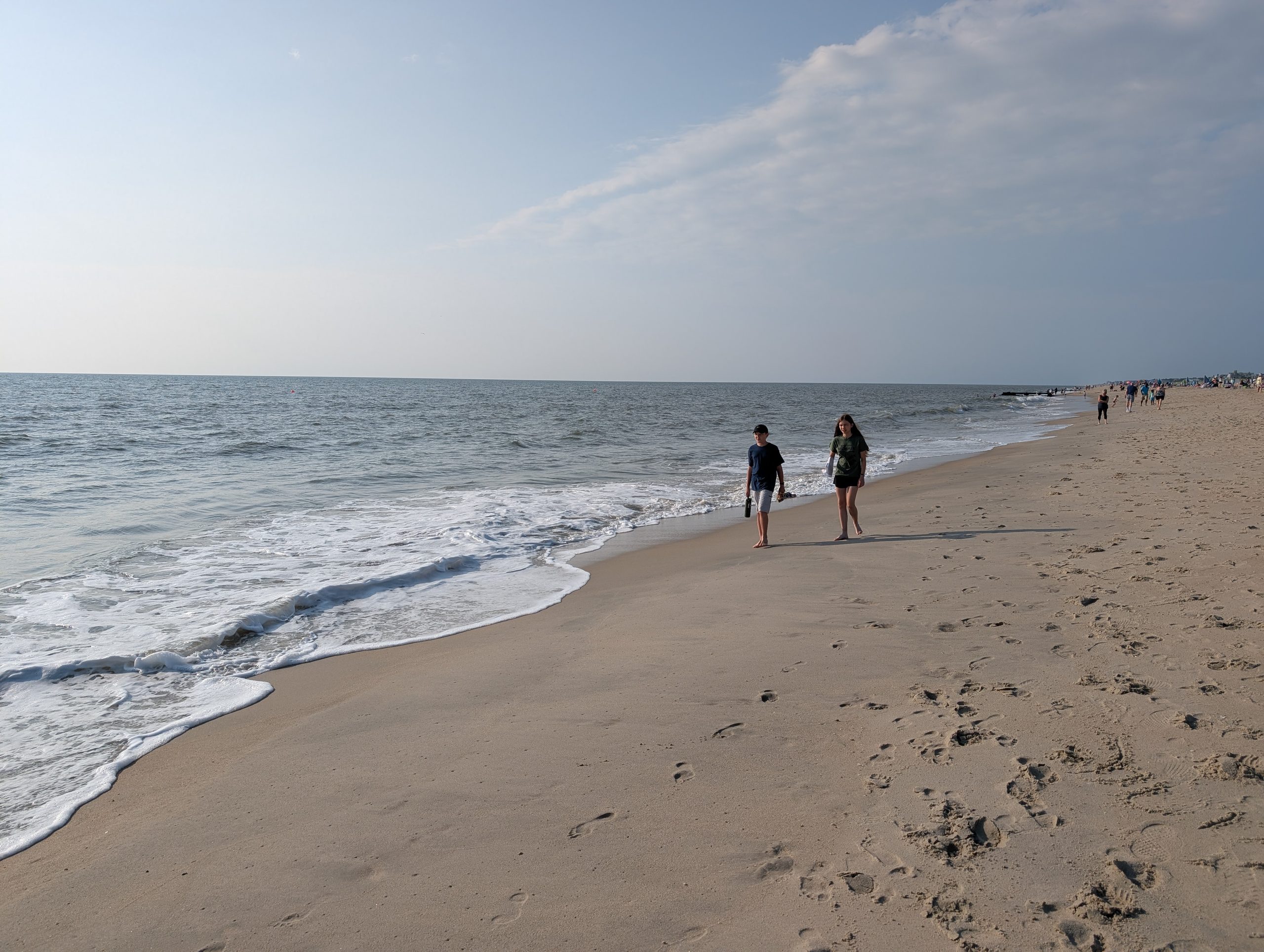
After we got something to eat at Dogfish Head Brewery (not their main brewing location in Delaware, but a nice secondary restaurant space about half a mile from our hotel), Brooke, Calvin, and I went to a beachfront state park a few miles away so Calvin could swim a bit. Meg had just started an online class, so she needed some time to get some homework done when she wasn’t riding in a car. The water was chilly, but pretty clear. No seaweed or jellyfish or anything like that along the beaches we saw. There were some seashells, but mostly fragments. It also wasn’t terribly crowded, though Rehoboth Beach itself definitely featured a lot more people. Still, the thing I detest about Florida beaches I’ve been to in recent years (e.g. Destin) is how the beaches feel fragmented by the condos and hotels that are there, with their own chairs and umbrellas you have to pay extra for. I’m sure that exists in Jersey and Delaware, but we didn’t see that here. It was a traditional “first come, first serve” beach space, which I appreciate.
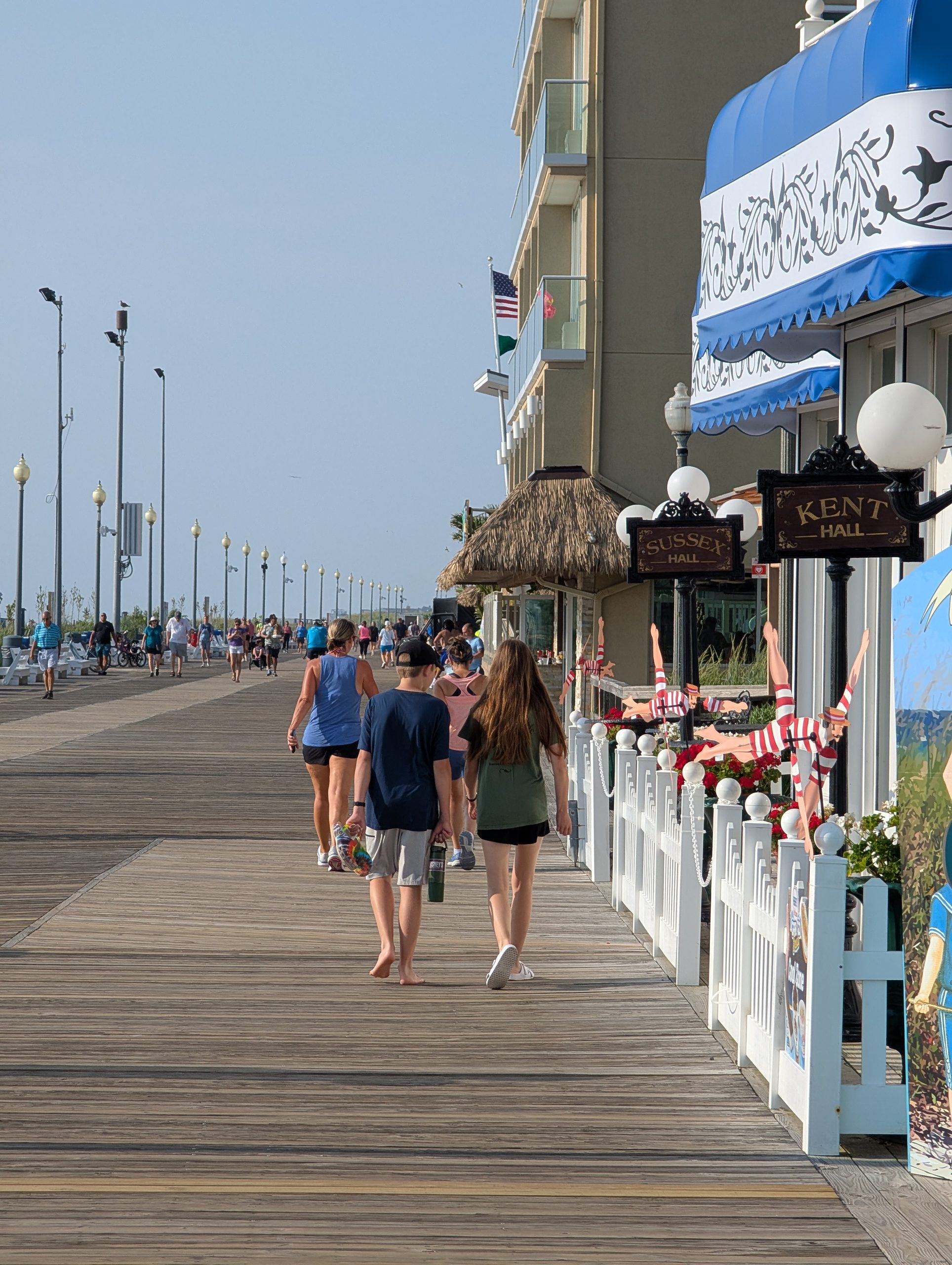
The next morning, we got up relatively early (we were really running on Central Time this whole trip, so everyone woke up in the 6:00-7:00 Eastern Time frame most days), went back to the boardwalk to check out the morning vibes (a lot of cyclists and joggers) and have breakfast before driving to D.C. Rehoboth was a good time, though it’s a hike to get there, so I can’t imagine we’ll go back any time soon.