This post is part of an ongoing series summarizing each State Park in Missouri that our family has attended. We hope to visit each of 54 State Parks before the kids graduate from high school.

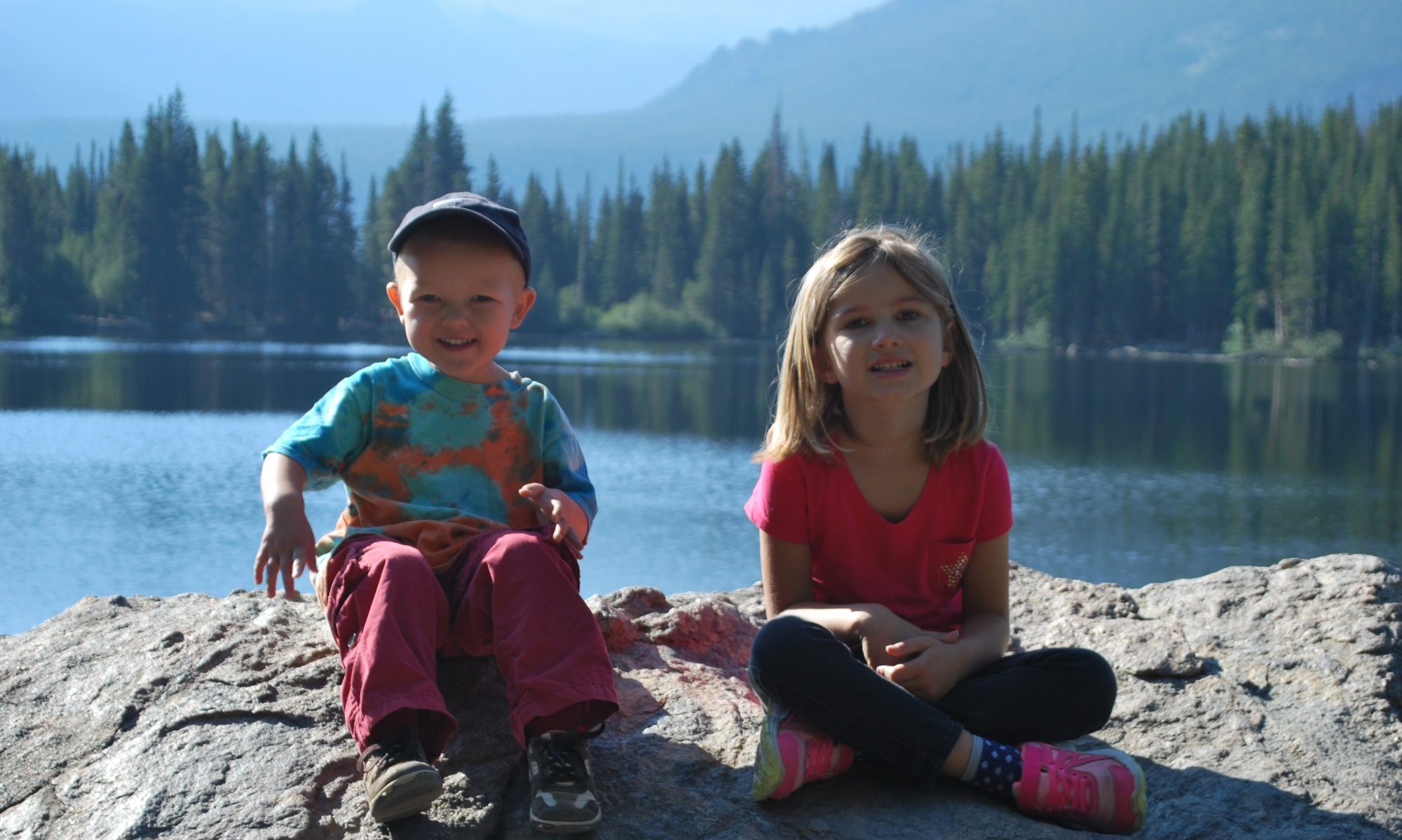
The last state park we visited this past summer was Montauk State Park, the next morning after we visited Grand Gulf State Park. By this point in the trip, we’d had a whirlwind tour of a bunch of parks, some more interesting than others, so by the time we were at Montauk, we were all about ready to go home. We at least knew Montauk wasn’t going to feature a long hike or anything, so that powered us through the morning.

The biggest thing about Montauk State Park is that it is located near the beginning of the Current River, where the spring feeds cold water into the river system and provides a perfect site to raise trout. It also means that a bunch families were there fishing.

Montauk State Park is one of three “trout parks” in Missouri, primarily featuring daily stocking of rainbow and brown trout. The different reservoirs being maintained at the site have fish at different stages of development. Reservoirs need to be emptied and cleaned (like the one above) occasionally, but it sure looked like millions of fish growing across the different tanks.

There was a little bit of hiking, but very limited. Really, it was a flat, gravel bike trail that went around the bodies of water in the area. We did a 1 mile loop around the pond, and that was basically the only “hiking” available at the site. Again, fishing is the primary draw, so not a ton for us to do, unfortunately!

If fishing was of interest to us, it would be a cool place to be! They’ve also got cabins on site, so it’s relatively easy to stay close to the fishing, making it convenient to get up early, if that’s your thing. For what we tend to be interested in, though, Montauk probably isn’t a park we need to return to any time soon. It was an easy stop to cap off the trip, though, so glad we saw it!


